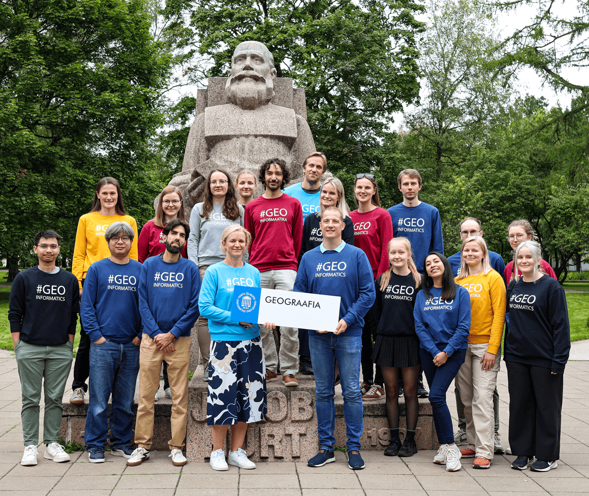
Welcome to the Landscape Geoinformatics Lab
Our workgroup focuses on sustainable landscape planning and resource management using geospatial analysis, machine learning and modelling.
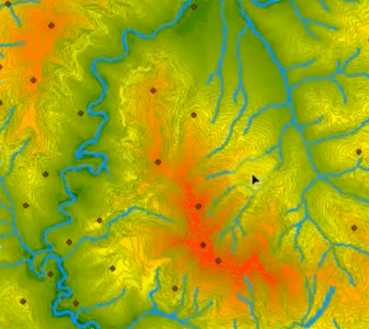
We are an interdisciplinary group aiming to provide novel geospatial data analysis and modelling methods to discover and better understand landscape processes and interrelations. We are interested in applying innovative geospatial tools and techniques to improve sustainable water and land resource management under changing climate and increasing population.
Upcoming Event: AGILE Conference 2026 in Tartu, Estonia
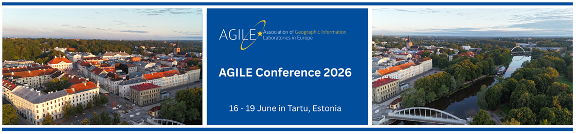
Date: June 16 - 19 2026
Theme: Smart Data: Making geospatial data actionable
We invite researchers, practitioners, and professionals in all facets of Geographic Information Science and Technology and their applications to present ongoing research, showcase products, network with colleagues from Europe and the rest of the world, and find out about the latest developments in the field.
More information about the conference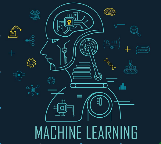
Spatial Analysis and Spatial Machine Learning
Top-level science and research in geospatial analysis, machine learning and modelling.
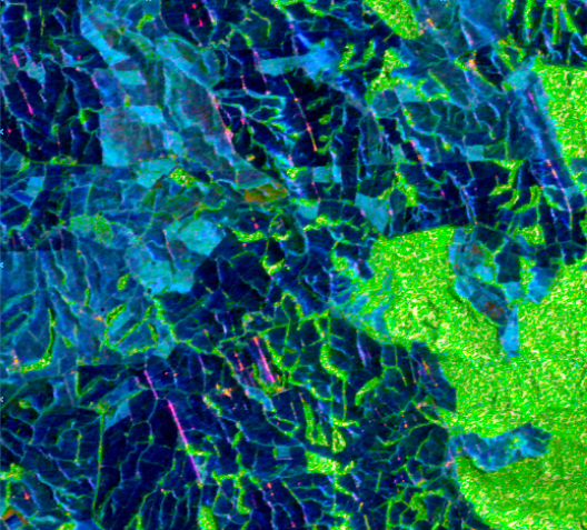
Environmental Remote Sensing
All members of our team are experts in geospatial data analysis, processing, and visualisation.
Environmental Modelling
We don't only stay up to date on the latest changes in science and technology, but we drive innovation forward.


