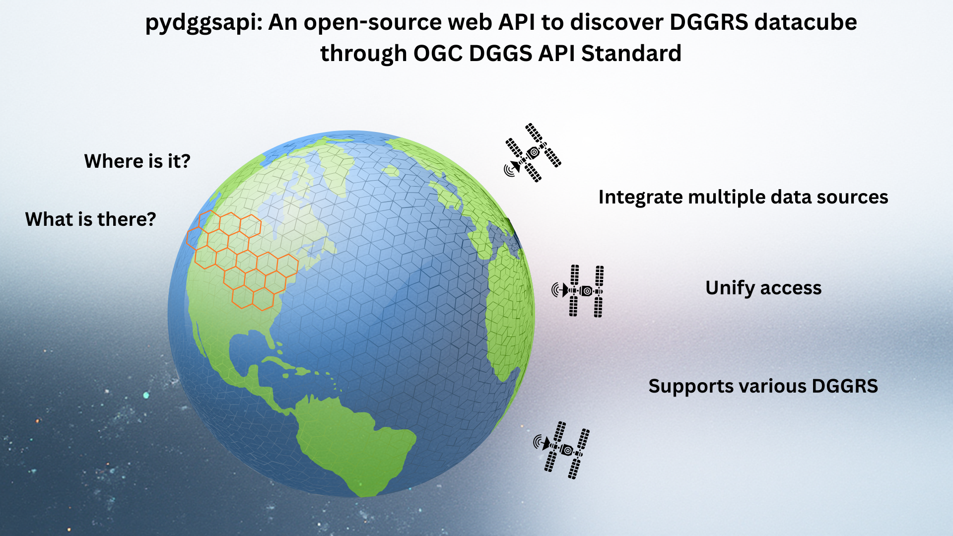
pydggsapi (GitHub repository) is an open-source web API to discover DGGS datasets through the OGC DGGS API standard.
Please cite pydggsapi if you use it:
Chan, W. T., Charette-Migneault, F., Uuemaa, E., and Kmoch, A.: pydggsapi – a query web service for discrete global grid systems (DGGS) collections, SoftwareX, 103042, https://doi.org/10.1016/j.softx.2026.103042, 2026.
The increasing popularity over the past few years in using the Discrete Global Grid System (DGGS) for geoscience applications demonstrates the demand for an easy and standardised way of publishing and accessing DGGS data. The need is perfectly addressed by the OGC DGGS API standard, which emphasises answering the questions of “What is here?” and “Where is it?”.
With the purpose above, the Landscape Geoinformatics Lab, in collaboration with Francis Charette Migneault from the Computer Research Institute of Montréal (CRIM), has developed an open-source web API, pydggsapi, which adheres to the OGC DGGS API standard, enabling users to discover DGGS datasets. Users can explore data in various types of DGGRS (Discrete Global Grid Reference System), such as IGEO7, H3, IVEA7H, and rHEALPix, with a simple web query. The API endpoints allow users to make queries on the area of interest by:
- Retrieve a list of zones at a specific refinement level for the area of interest using a bounding box (where is it?)
- Retrieve data for a particular zone using the zone data retrieval query (what is here?)
The above two queries demonstrated the most basic queries that users can perform with the API. There are several advanced features, such as the CQL2 filter and the datetime query parameter, that allow users to work with custom data queries and on temporal datasets. Users can find more details about the queries in the example notebook (documentation).
In addition to the DGGS API endpoints, users can explore the collections provided by the API instances integrated with the OGC Collection API. Another feature of our API implementation is the tiles-api. This API endpoint allows users to easily visualise DGGS datasets with any GIS software by simply adding vector tiles.
pydggsapi in the OGC AI-DGGS Disaster Management Pilot
pydggsapi was improved and tested as one of the DGGS API server implementations in the OGC AI-DGGS Disaster Management Pilot. Two independent deployments (ours and the one of CRIM) served IGEO7-indexed flood risk and Earth observation collections to the AI-enabled clients of other pilot participants. During the pilot, we added runtime conversion between IGEO7 and H3, Zarr and Parquet collection providers next to ClickHouse, and a pytest-based conformance test suite for each supported DGGRS. The implementation is documented in Annex J of the pilot report, and a live instance is running at dggs.geokuup.ee.
pydggsapi is under active development. We keep improving its functionality and scalability (e.g. for Zarr collections with several hundred million zones) based on use cases from different disciplines.
Wai Tik Chan presented pydggsapi at the final workshop of the OGC AI-DGGS Pilot.